Track at Sleaford Junction (pre-development), (4)
Introduction
The photograph on this page of Track at Sleaford Junction (pre-development), (4) by Mick Lobb as part of the Geograph project.
The Geograph project started in 2005 with the aim of publishing, organising and preserving representative images for every square kilometre of Great Britain, Ireland and the Isle of Man.

There are currently over 7.5m images from over 14,400 individuals and you can help contribute to the project by visiting https://www.geograph.org.uk
Track at Sleaford Junction (pre-development), (4)
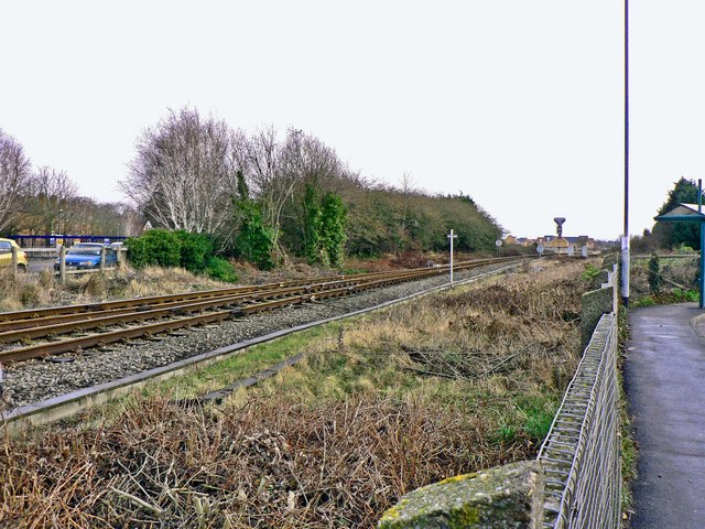
Image: © Mick Lobb Taken: 24 Jan 2009
The Advanta Seed site is on the left of the photograph, Mareham Road off to the right and the level crossing far left to the rear and out of shot.
Images are licensed for reuse under creativecommons.org/licenses/by-sa/2.0
Image Location
Latitude
52.994673
Longitude
-0.404416