Southernhay Green, Exeter
Introduction
The photograph on this page of Southernhay Green, Exeter by Derek Harper as part of the Geograph project.
The Geograph project started in 2005 with the aim of publishing, organising and preserving representative images for every square kilometre of Great Britain, Ireland and the Isle of Man.

There are currently over 7.5m images from over 14,400 individuals and you can help contribute to the project by visiting https://www.geograph.org.uk
Southernhay Green, Exeter
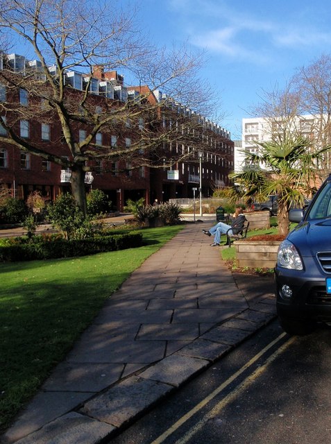
Image: © Derek Harper Taken: 20 Jan 2009
The green runs for 350 metres between Southernhay East and West, interrupted by roadways. This section is north of the link road between Barnfield Road and Bedford Street, and makes a popular spot for lunch on a sunny day. On the left is Image
Images are licensed for reuse under creativecommons.org/licenses/by-sa/2.0
Image Location
Latitude
50.723741
Longitude
-3.526315