Dunston Street, Openshaw
Introduction
The photograph on this page of Dunston Street, Openshaw by Peter Whatley as part of the Geograph project.
The Geograph project started in 2005 with the aim of publishing, organising and preserving representative images for every square kilometre of Great Britain, Ireland and the Isle of Man.

There are currently over 7.5m images from over 14,400 individuals and you can help contribute to the project by visiting https://www.geograph.org.uk
Dunston Street, Openshaw
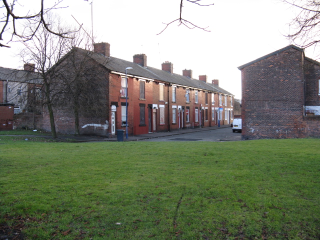
Image: © Peter Whatley Taken: 24 Jan 2009
Part of a section of terraced housing which is now joined to the more modern estate along Greenside Street. Not an area to hang about in.
Images are licensed for reuse under creativecommons.org/licenses/by-sa/2.0
Image Location
Latitude
53.476521
Longitude
-2.18016