Second bend
Introduction
The photograph on this page of Second bend by Bill Nicholls as part of the Geograph project.
The Geograph project started in 2005 with the aim of publishing, organising and preserving representative images for every square kilometre of Great Britain, Ireland and the Isle of Man.

There are currently over 7.5m images from over 14,400 individuals and you can help contribute to the project by visiting https://www.geograph.org.uk
Second bend
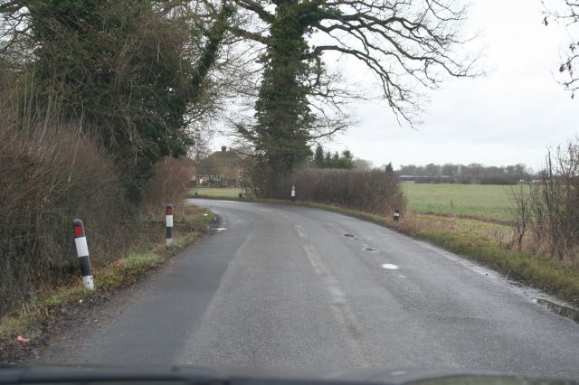
Image: © Bill Nicholls Taken: 25 Jan 2009
This is the second bend which is what you come across after the first Image, the ditch on the left is where most cars end up and the field on the right is where they end up coming from Didcot.
Images are licensed for reuse under creativecommons.org/licenses/by-sa/2.0
Image Location
Latitude
51.59656
Longitude
-1.210548