East end of Alexandra Road, Ash, Surrey
Introduction
The photograph on this page of East end of Alexandra Road, Ash, Surrey by Humphrey Bolton as part of the Geograph project.
The Geograph project started in 2005 with the aim of publishing, organising and preserving representative images for every square kilometre of Great Britain, Ireland and the Isle of Man.

There are currently over 7.5m images from over 14,400 individuals and you can help contribute to the project by visiting https://www.geograph.org.uk
East end of Alexandra Road, Ash, Surrey
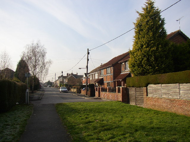
Image: © Humphrey Bolton Taken: 24 Jan 2006
This is a residential road that has been extended from the west over the last century until it reached Star Lane. The Star Lane has been blocked to prevent through traffic, and the part beyond the driveways of the last houses is a footway across grass.
Images are licensed for reuse under creativecommons.org/licenses/by-sa/2.0
Image Location
Latitude
51.24584
Longitude
-0.726292