Ryton Cemetery
Introduction
The photograph on this page of Ryton Cemetery by Steve McShane as part of the Geograph project.
The Geograph project started in 2005 with the aim of publishing, organising and preserving representative images for every square kilometre of Great Britain, Ireland and the Isle of Man.

There are currently over 7.5m images from over 14,400 individuals and you can help contribute to the project by visiting https://www.geograph.org.uk
Ryton Cemetery
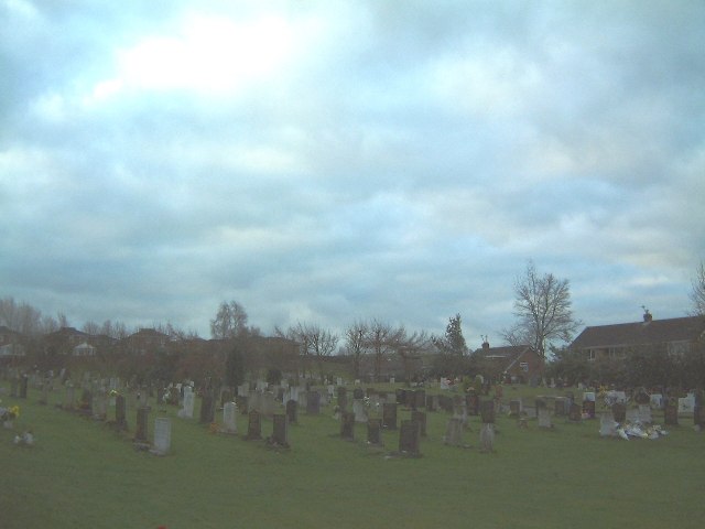
Image: © Steve McShane Taken: 28 Jan 2006
View looking south. The houses on the right are on Grange Drive.
Images are licensed for reuse under creativecommons.org/licenses/by-sa/2.0
Image Location
Latitude
54.969486
Longitude
-1.760978