Flooded Footpaths
Introduction
The photograph on this page of Flooded Footpaths by Simon Carey as part of the Geograph project.
The Geograph project started in 2005 with the aim of publishing, organising and preserving representative images for every square kilometre of Great Britain, Ireland and the Isle of Man.

There are currently over 7.5m images from over 14,400 individuals and you can help contribute to the project by visiting https://www.geograph.org.uk
Flooded Footpaths
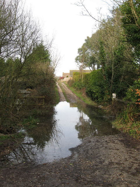
Image: © Simon Carey Taken: 24 Jan 2009
The drive carries the footpath from Wannock to Folkington whilst another follows the nearside of the fence from here to Filching along the northern bank of Wannock Glen. Had to cross the stream by balancing on an old fallen tree as it was the only way across, the owner of the paddocks beyond had allowed me to climb over the fence to use her fields but warned me that this bit of water was knee deep across the bridge. The stream once powered a watermill that operated from the late 16th century to 1918, the buildings being demolished in 1956 and the millpond filled to make way for a housing estate.
Images are licensed for reuse under creativecommons.org/licenses/by-sa/2.0
Image Location
Latitude
50.808614
Longitude
0.231646