Farm road near Berryhill
Introduction
The photograph on this page of Farm road near Berryhill by Leslie Barrie as part of the Geograph project.
The Geograph project started in 2005 with the aim of publishing, organising and preserving representative images for every square kilometre of Great Britain, Ireland and the Isle of Man.

There are currently over 7.5m images from over 14,400 individuals and you can help contribute to the project by visiting https://www.geograph.org.uk
Farm road near Berryhill
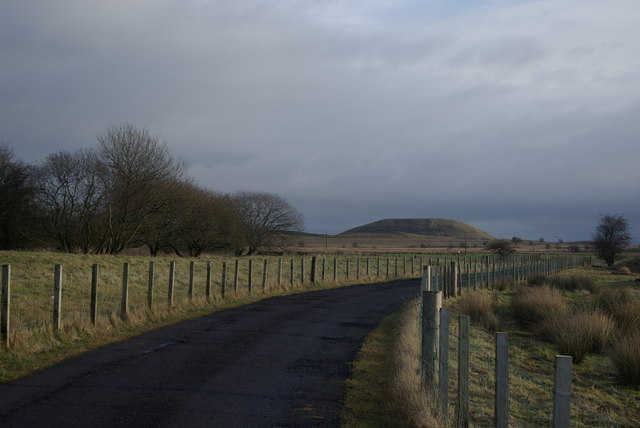
Image: © Leslie Barrie Taken: 24 Jan 2009
A view to one of the many bings still to be found in the surrounding area
Images are licensed for reuse under creativecommons.org/licenses/by-sa/2.0
Image Location
Latitude
55.480621
Longitude
-4.275377