Farm buildings south-west of Trescott, Staffordshire
Introduction
The photograph on this page of Farm buildings south-west of Trescott, Staffordshire by Roger D Kidd as part of the Geograph project.
The Geograph project started in 2005 with the aim of publishing, organising and preserving representative images for every square kilometre of Great Britain, Ireland and the Isle of Man.

There are currently over 7.5m images from over 14,400 individuals and you can help contribute to the project by visiting https://www.geograph.org.uk
Farm buildings south-west of Trescott, Staffordshire
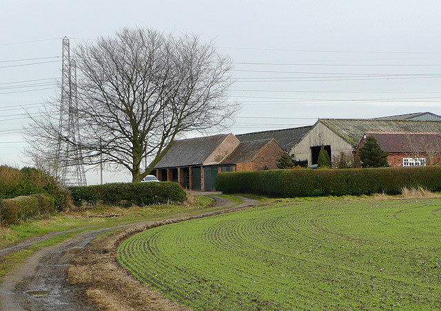
Image: © Roger D Kidd Taken: 21 Jan 2009
This track leads the present Staffordshire way past Furnace Grange, and across the Smestow Brook towards the A454 main road near Trescott. Several furnaces or forges were established in this area near the brook by the 17th century.
Images are licensed for reuse under creativecommons.org/licenses/by-sa/2.0
Image Location
Latitude
52.566101
Longitude
-2.23143