Kingston: The Green
Introduction
The photograph on this page of Kingston: The Green by Chris Downer as part of the Geograph project.
The Geograph project started in 2005 with the aim of publishing, organising and preserving representative images for every square kilometre of Great Britain, Ireland and the Isle of Man.

There are currently over 7.5m images from over 14,400 individuals and you can help contribute to the project by visiting https://www.geograph.org.uk
Kingston: The Green
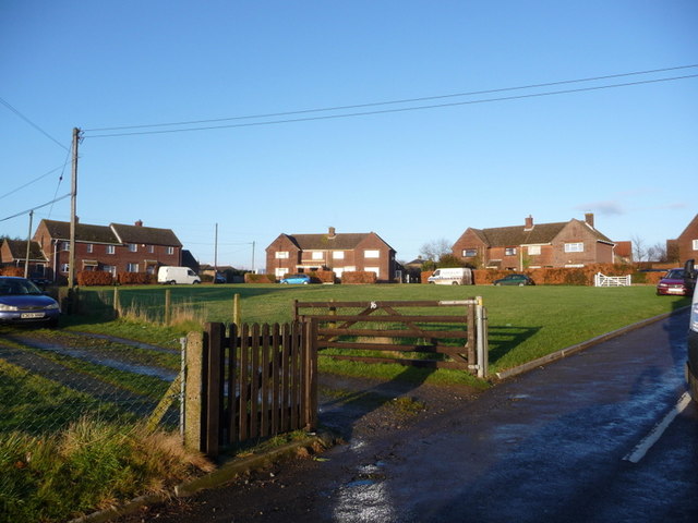
Image: © Chris Downer Taken: 24 Jan 2009
A small development of council houses surrounding a green and therefore aptly named. The house behind the right-hand white van used to house the village post office, but that closed down on 27 March 2002.
Images are licensed for reuse under creativecommons.org/licenses/by-sa/2.0
Image Location
Latitude
50.884445
Longitude
-2.356189