Footpath crossing Roman Way
Introduction
The photograph on this page of Footpath crossing Roman Way by Jonathan Billinger as part of the Geograph project.
The Geograph project started in 2005 with the aim of publishing, organising and preserving representative images for every square kilometre of Great Britain, Ireland and the Isle of Man.

There are currently over 7.5m images from over 14,400 individuals and you can help contribute to the project by visiting https://www.geograph.org.uk
Footpath crossing Roman Way
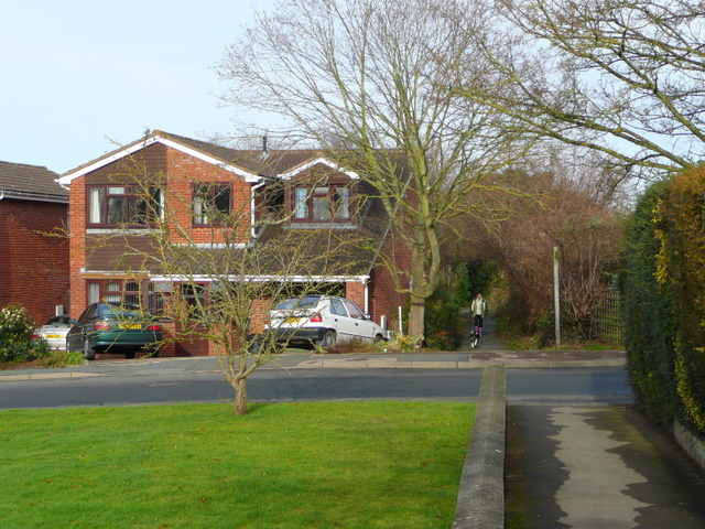
Image: © Jonathan Billinger Taken: 24 Jan 2009
The footpath cuts through the western suburbs of Ross-on-Wye from Tudorville to Wilton Bridge via Archenfield Road.
Images are licensed for reuse under creativecommons.org/licenses/by-sa/2.0
Image Location
Latitude
51.904407
Longitude
-2.592264