The Glebe Field, Heddon on the Wall
Introduction
The photograph on this page of The Glebe Field, Heddon on the Wall by Andrew Curtis as part of the Geograph project.
The Geograph project started in 2005 with the aim of publishing, organising and preserving representative images for every square kilometre of Great Britain, Ireland and the Isle of Man.

There are currently over 7.5m images from over 14,400 individuals and you can help contribute to the project by visiting https://www.geograph.org.uk
The Glebe Field, Heddon on the Wall
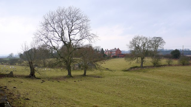
Image: © Andrew Curtis Taken: 15 Jan 2009
Hadrian's Wall lies under the tarmac of Wade's Military Road for many miles west of Heddon. The Vallum running alongside it to the south is visible as parallel banks on the right side of the photograph maintained by the absence of cultivation.
Images are licensed for reuse under creativecommons.org/licenses/by-sa/2.0
Image Location
Latitude
54.99759
Longitude
-1.798013