The Glebe Field, Heddon on the Wall
Introduction
The photograph on this page of The Glebe Field, Heddon on the Wall by Andrew Curtis as part of the Geograph project.
The Geograph project started in 2005 with the aim of publishing, organising and preserving representative images for every square kilometre of Great Britain, Ireland and the Isle of Man.

There are currently over 7.5m images from over 14,400 individuals and you can help contribute to the project by visiting https://www.geograph.org.uk
The Glebe Field, Heddon on the Wall
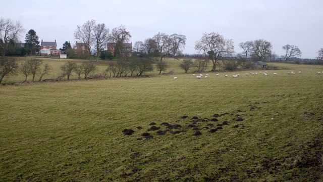
Image: © Andrew Curtis Taken: 15 Jan 2009
The houses are on the Military Road built on the foundations of the Roman Wall. The vallum russ parallel through the top of the field. The Inclosure Act of 1717 caused the Common Land of Heddon to be divided into four parts, the Glebe lands going to the Vicar.
Images are licensed for reuse under creativecommons.org/licenses/by-sa/2.0
Image Location
Latitude
54.997234
Longitude
-1.800204