The Counting House
Introduction
The photograph on this page of The Counting House by Deborah Tilley as part of the Geograph project.
The Geograph project started in 2005 with the aim of publishing, organising and preserving representative images for every square kilometre of Great Britain, Ireland and the Isle of Man.

There are currently over 7.5m images from over 14,400 individuals and you can help contribute to the project by visiting https://www.geograph.org.uk
The Counting House
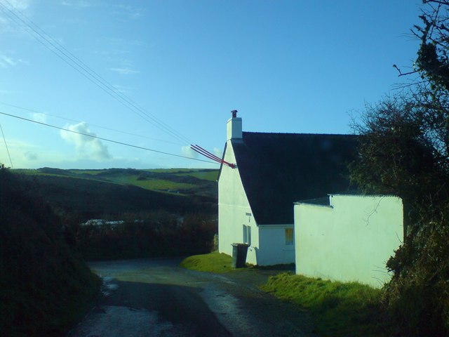
Image: © Deborah Tilley Taken: 24 Jan 2009
I think this intriguing name stems from the days when Nolton was a busy coal mining area. It features in the census returns in the 19th century and was possibly where the pit owner did his books and paid his men. It is now holiday accommodation.
Images are licensed for reuse under creativecommons.org/licenses/by-sa/2.0
Image Location
Latitude
51.826589
Longitude
-5.105182