Flooded footpath, Tisbury
Introduction
The photograph on this page of Flooded footpath, Tisbury by Maigheach-gheal as part of the Geograph project.
The Geograph project started in 2005 with the aim of publishing, organising and preserving representative images for every square kilometre of Great Britain, Ireland and the Isle of Man.

There are currently over 7.5m images from over 14,400 individuals and you can help contribute to the project by visiting https://www.geograph.org.uk
Flooded footpath, Tisbury
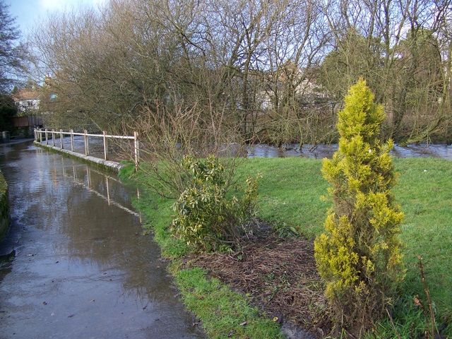
Image: © Maigheach-gheal Taken: 23 Jan 2009
The River Nadder has flooded its banks at Stubbles after recent heavy rains.
Images are licensed for reuse under creativecommons.org/licenses/by-sa/2.0
Image Location
Latitude
51.060489
Longitude
-2.082426