Polluted Ditch and Public Footpath
Introduction
The photograph on this page of Polluted Ditch and Public Footpath by Bob Jenkins as part of the Geograph project.
The Geograph project started in 2005 with the aim of publishing, organising and preserving representative images for every square kilometre of Great Britain, Ireland and the Isle of Man.

There are currently over 7.5m images from over 14,400 individuals and you can help contribute to the project by visiting https://www.geograph.org.uk
Polluted Ditch and Public Footpath
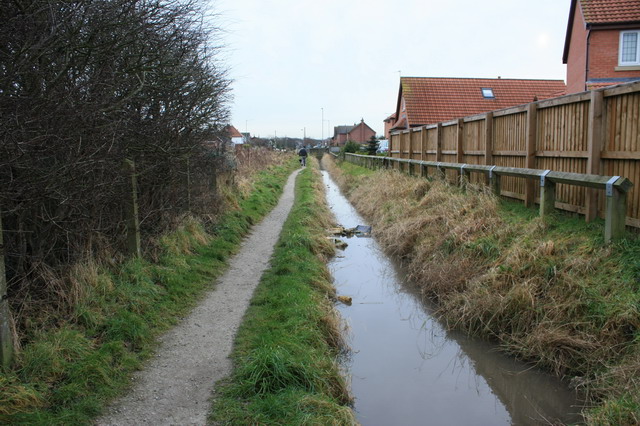
Image: © Bob Jenkins Taken: 14 Jan 2009
A smart new housing development to the west is screened from this rather unpleasant short path.
Images are licensed for reuse under creativecommons.org/licenses/by-sa/2.0
Image Location
Latitude
53.930997
Longitude
-2.97546