Vandalised cars near Mangravet
Introduction
The photograph on this page of Vandalised cars near Mangravet by David Anstiss as part of the Geograph project.
The Geograph project started in 2005 with the aim of publishing, organising and preserving representative images for every square kilometre of Great Britain, Ireland and the Isle of Man.

There are currently over 7.5m images from over 14,400 individuals and you can help contribute to the project by visiting https://www.geograph.org.uk
Vandalised cars near Mangravet
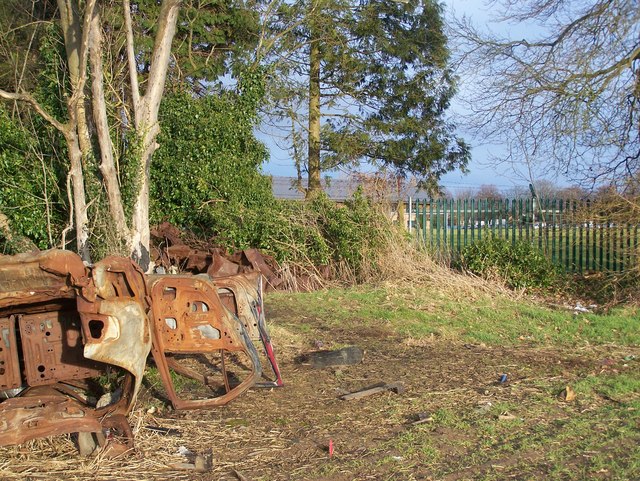
Image: © David Anstiss Taken: 20 Jan 2009
Close to footpath from Pested Bars Road to Camp Way, Mangravet. Green fence on right is boundary of sports field of Kent County Constabulary Headquarters (Maidstone Police). Hence, location of embarrassing dumped cars.
Images are licensed for reuse under creativecommons.org/licenses/by-sa/2.0
Image Location
Latitude
51.246278
Longitude
0.538785