Roundabout on Brishing Road
Introduction
The photograph on this page of Roundabout on Brishing Road by David Anstiss as part of the Geograph project.
The Geograph project started in 2005 with the aim of publishing, organising and preserving representative images for every square kilometre of Great Britain, Ireland and the Isle of Man.

There are currently over 7.5m images from over 14,400 individuals and you can help contribute to the project by visiting https://www.geograph.org.uk
Roundabout on Brishing Road
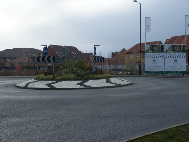
Image: © David Anstiss Taken: 20 Jan 2009
Brishing Lane heads right to Cock Street. Brishing Road heading left leads to four wents. Seen from Brishing road, in Park Wood. Behind roundabout, Woodlands Housing Estate of Ward Homes.
Images are licensed for reuse under creativecommons.org/licenses/by-sa/2.0
Image Location
Latitude
51.239069
Longitude
0.547701