Page Street
Introduction
The photograph on this page of Page Street by Martin Addison as part of the Geograph project.
The Geograph project started in 2005 with the aim of publishing, organising and preserving representative images for every square kilometre of Great Britain, Ireland and the Isle of Man.

There are currently over 7.5m images from over 14,400 individuals and you can help contribute to the project by visiting https://www.geograph.org.uk
Page Street
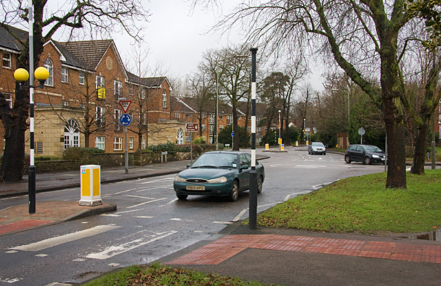
Image: © Martin Addison Taken: 19 Jan 2009
Seen here at the junction with Pursley Road, at the nearest roundabout. The far roundabout is the junction with Bunns Lane. The brown sign indicates the way to Copthall Stadium and golf centre.
Images are licensed for reuse under creativecommons.org/licenses/by-sa/2.0
Image Location
Latitude
51.607763
Longitude
-0.232692