New link road, York
Introduction
The photograph on this page of New link road, York by Gordon Hatton as part of the Geograph project.
The Geograph project started in 2005 with the aim of publishing, organising and preserving representative images for every square kilometre of Great Britain, Ireland and the Isle of Man.

There are currently over 7.5m images from over 14,400 individuals and you can help contribute to the project by visiting https://www.geograph.org.uk
New link road, York
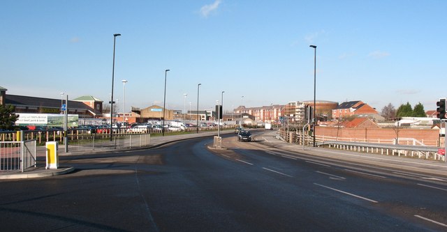
Image: © Gordon Hatton Taken: 21 Jan 2009
This section of new road opened to traffic in 2008, providing a link between Layerthorpe and Lawrence Street, and running parallel to the A1036 inner ring road. To the left is the Morrisons supermarket site.
Images are licensed for reuse under creativecommons.org/licenses/by-sa/2.0
Image Location


Leaflet Map data © OpenStreetMap
Latitude
53.959213
Longitude
-1.068465