Fairfax Drive, Westcliff-on-Sea
Introduction
The photograph on this page of Fairfax Drive, Westcliff-on-Sea by David Kemp as part of the Geograph project.
The Geograph project started in 2005 with the aim of publishing, organising and preserving representative images for every square kilometre of Great Britain, Ireland and the Isle of Man.

There are currently over 7.5m images from over 14,400 individuals and you can help contribute to the project by visiting https://www.geograph.org.uk
Fairfax Drive, Westcliff-on-Sea
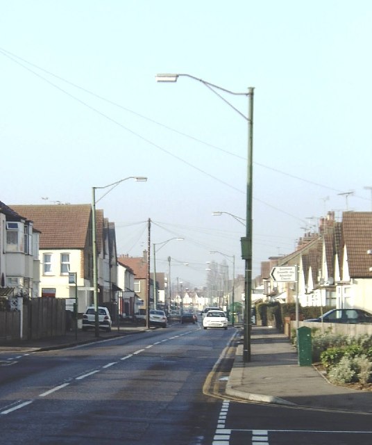
Image: © David Kemp Taken: 28 Jan 2006
This road runs through Westcliff along the valley of Prittle Brook Image Some of the lamp standards once carried the overhead wiring for the trolleybuses until the latter ceased operation in 1954. Fairfax Drive was on the West Circular route which had a service of twelve trolleybuses per hour in each direction Image Taken near Westcliff Park Drive looking west.
Images are licensed for reuse under creativecommons.org/licenses/by-sa/2.0
Image Location
Latitude
51.550194
Longitude
0.68709