Isaac's Tea Trail near Clargillhead
Introduction
The photograph on this page of Isaac's Tea Trail near Clargillhead by Roger Morris as part of the Geograph project.
The Geograph project started in 2005 with the aim of publishing, organising and preserving representative images for every square kilometre of Great Britain, Ireland and the Isle of Man.

There are currently over 7.5m images from over 14,400 individuals and you can help contribute to the project by visiting https://www.geograph.org.uk
Isaac's Tea Trail near Clargillhead
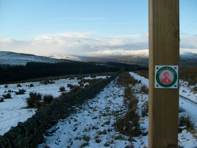
Image: © Roger Morris Taken: 21 Jan 2009
This is where Isaac's Tea Trail meets the A686, look out for traffic especially motor bykes, when crossing road towards the Pennine Pottery or in the opposite direction down the Ayle Burn. The road can be very busy at weekends, in good weather. This is a popular route to the Lake District.
Images are licensed for reuse under creativecommons.org/licenses/by-sa/2.0
Image Location
Latitude
54.842496
Longitude
-2.411363