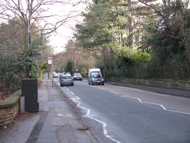
Brooklands Road from Whitehall Road
Introduction
The photograph on this page of Brooklands Road from Whitehall Road by Peter Whatley as part of the Geograph project.
The Geograph project started in 2005 with the aim of publishing, organising and preserving representative images for every square kilometre of Great Britain, Ireland and the Isle of Man.
There are currently over 7.5m images from over 14,400 individuals and you can help contribute to the project by visiting https://www.geograph.org.uk

Image: © Peter Whatley Taken: 20 Jan 2009
Brooklands Road reflects the historic estates and influence of the Brooks family around Sale and Timperley. The road heads dead straight from Brooklands station for over a mile and, as a walking route only, continues for almost another mile beyond the major roundabout now provided at the southern end of the vehicular road. For a photo of the southern end, see: [http://www.geograph.org.uk/photo/1134155].

