Timbercombe Bridleway
Introduction
The photograph on this page of Timbercombe Bridleway by Terry Jacombs as part of the Geograph project.
The Geograph project started in 2005 with the aim of publishing, organising and preserving representative images for every square kilometre of Great Britain, Ireland and the Isle of Man.

There are currently over 7.5m images from over 14,400 individuals and you can help contribute to the project by visiting https://www.geograph.org.uk
Timbercombe Bridleway
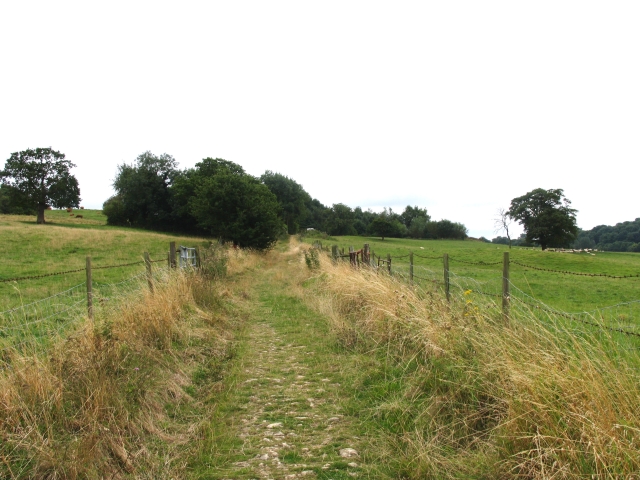
Image: © Terry Jacombs Taken: 27 Aug 2005
Lower down the hill the bridleway runs through woods, but here it passes between fields as it nears Vineyards Farm
Images are licensed for reuse under creativecommons.org/licenses/by-sa/2.0
Image Location
Latitude
51.870016
Longitude
-2.044106