Beyond Mill Hill East
Introduction
The photograph on this page of Beyond Mill Hill East by Martin Addison as part of the Geograph project.
The Geograph project started in 2005 with the aim of publishing, organising and preserving representative images for every square kilometre of Great Britain, Ireland and the Isle of Man.

There are currently over 7.5m images from over 14,400 individuals and you can help contribute to the project by visiting https://www.geograph.org.uk
Beyond Mill Hill East
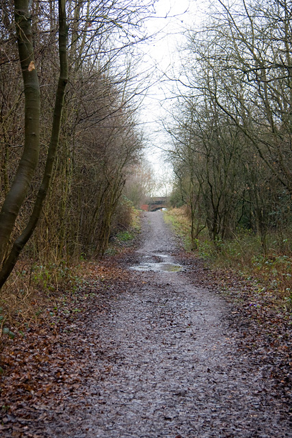
Image: © Martin Addison Taken: 19 Jan 2009
Looking back again towards the Sanders Lane bridge near Mill Hill East. The sudden change of height visible in this photo of the footpath was certainly not there when the railway was operating. I would guess that some of the track bed gravel was removed for use in construction.
Images are licensed for reuse under creativecommons.org/licenses/by-sa/2.0
Image Location
Latitude
51.608781
Longitude
-0.216766