Broad Water and Little Livermere church
Introduction
The photograph on this page of Broad Water and Little Livermere church by Bob Jones as part of the Geograph project.
The Geograph project started in 2005 with the aim of publishing, organising and preserving representative images for every square kilometre of Great Britain, Ireland and the Isle of Man.

There are currently over 7.5m images from over 14,400 individuals and you can help contribute to the project by visiting https://www.geograph.org.uk
Broad Water and Little Livermere church
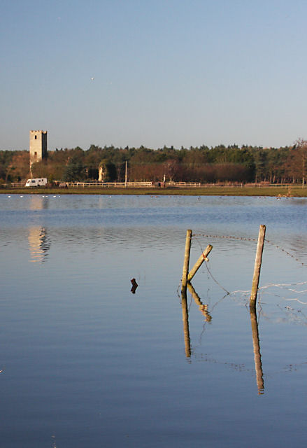
Image: © Bob Jones Taken: 21 Jan 2009
Looking across Broad Water towards Park Farm and the ruined church of Little Livermere.
Images are licensed for reuse under creativecommons.org/licenses/by-sa/2.0
Image Location
Latitude
52.310395
Longitude
0.760786