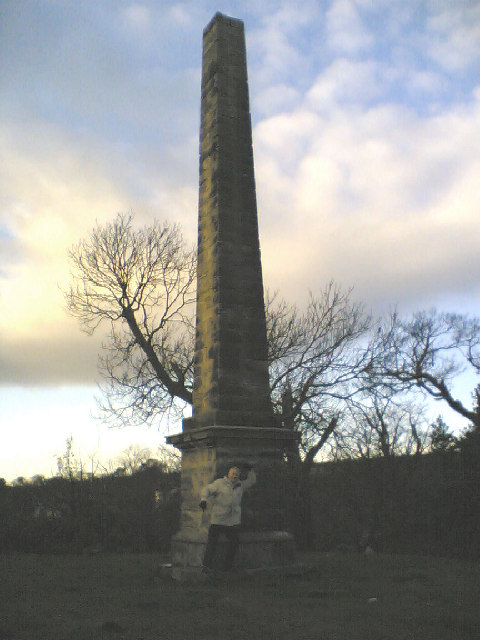
Obelisk, Aberdour
Introduction
The photograph on this page of Obelisk, Aberdour by Simon Johnston as part of the Geograph project.
The Geograph project started in 2005 with the aim of publishing, organising and preserving representative images for every square kilometre of Great Britain, Ireland and the Isle of Man.
There are currently over 7.5m images from over 14,400 individuals and you can help contribute to the project by visiting https://www.geograph.org.uk

Image: © Simon Johnston Taken: 2 Jan 2006
Earl of Morton's Obelisk. Aberdour, Fife. Standing nearly 40 feet high thinks it was built just to show off to his pals in Edinburgh. Strangely there are no markings on any part of the structure. Further info....The Obelisk is situated on top of Cuttlehill and marks the territory of one of the Earls of Morton. I think it was put up in the 19th century. Allegedly it was erected so that the Earl could show all his pals in Edinburgh where his land was and has no other significant reason for being there, or so I'm told. The title Earl of Morton was created in the Peerage of Scotland in 1458 for James Douglas. Along with it, the title Lord Aberdour was granted. This latter title is the courtesy title for the eldest son and heir to the Earl of Morton... My thanks to Rab Coates for his assistance with some of the historical points here.
Image Location


