Bittacy Road Estate
Introduction
The photograph on this page of Bittacy Road Estate by Martin Addison as part of the Geograph project.
The Geograph project started in 2005 with the aim of publishing, organising and preserving representative images for every square kilometre of Great Britain, Ireland and the Isle of Man.

There are currently over 7.5m images from over 14,400 individuals and you can help contribute to the project by visiting https://www.geograph.org.uk
Bittacy Road Estate
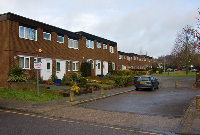
Image: © Martin Addison Taken: 19 Jan 2009
Modern housing with parking in the triangular area between Bittacy Road and Bittacy Hill, which is visible in the distance.
Images are licensed for reuse under creativecommons.org/licenses/by-sa/2.0
Image Location
Latitude
51.609151
Longitude
-0.211553