West Highland Line
Introduction
The photograph on this page of West Highland Line by Mark Nightingale as part of the Geograph project.
The Geograph project started in 2005 with the aim of publishing, organising and preserving representative images for every square kilometre of Great Britain, Ireland and the Isle of Man.

There are currently over 7.5m images from over 14,400 individuals and you can help contribute to the project by visiting https://www.geograph.org.uk
West Highland Line
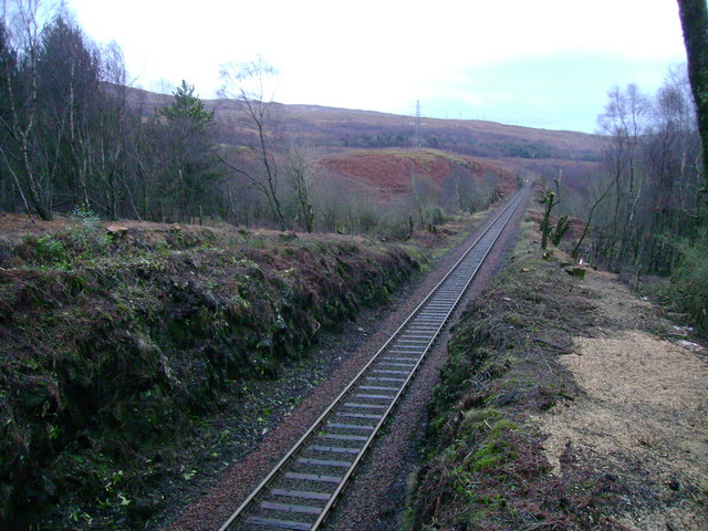
Image: © Mark Nightingale Taken: 21 Jan 2009
The West Highland Line heading towards Garelochhead station. Trees have been felled on either side of the railway recently.
Images are licensed for reuse under creativecommons.org/licenses/by-sa/2.0
Image Location
Latitude
56.091251
Longitude
-4.834751