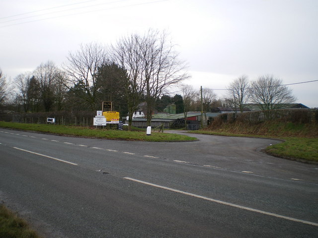
Rodeheath milestone in its setting
Introduction
The photograph on this page of Rodeheath milestone in its setting by Richard Law as part of the Geograph project.
The Geograph project started in 2005 with the aim of publishing, organising and preserving representative images for every square kilometre of Great Britain, Ireland and the Isle of Man.
There are currently over 7.5m images from over 14,400 individuals and you can help contribute to the project by visiting https://www.geograph.org.uk

Image: © Richard Law Taken: 21 Jan 2009
The layby here must originally have been part of the A536 between Congleton (left) and Macclesfield (off to the right), but the road has been straightened, leaving the Chain & Gate pub slightly off the main road these days. It's very likely the milestone was lifted and moved to the side of the new road at or around the time of the straightening.

