19th century guidepost near Farndon
Introduction
The photograph on this page of 19th century guidepost near Farndon by John S Turner as part of the Geograph project.
The Geograph project started in 2005 with the aim of publishing, organising and preserving representative images for every square kilometre of Great Britain, Ireland and the Isle of Man.

There are currently over 7.5m images from over 14,400 individuals and you can help contribute to the project by visiting https://www.geograph.org.uk
19th century guidepost near Farndon
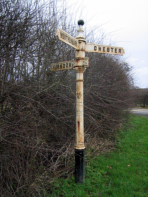
Image: © John S Turner Taken: 17 Jan 2009
This old guidepost is at the junction of the B5130 with the minor road into the village of Farndon. At some time the entire post has been turned as Farndon is to the left and Chester straight on.
Images are licensed for reuse under creativecommons.org/licenses/by-sa/2.0
Image Location
Latitude
53.082313
Longitude
-2.866286