Sheltered housing
Introduction
The photograph on this page of Sheltered housing by Phil Williams as part of the Geograph project.
The Geograph project started in 2005 with the aim of publishing, organising and preserving representative images for every square kilometre of Great Britain, Ireland and the Isle of Man.

There are currently over 7.5m images from over 14,400 individuals and you can help contribute to the project by visiting https://www.geograph.org.uk
Sheltered housing
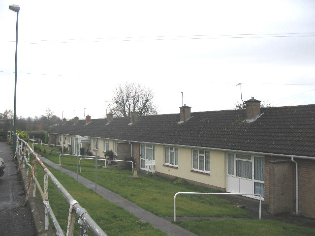
Image: © Phil Williams Taken: 14 Jan 2006
A view looking southwest along the row of sheltered housing units at the lower level of Warminster Road car park. The playing fields of Matravers School can be seen in the distance.
Images are licensed for reuse under creativecommons.org/licenses/by-sa/2.0
Image Location
Latitude
51.258913
Longitude
-2.186249