Combined Sewer Overflow works, Barnard Castle
Introduction
The photograph on this page of Combined Sewer Overflow works, Barnard Castle by David Hawgood as part of the Geograph project.
The Geograph project started in 2005 with the aim of publishing, organising and preserving representative images for every square kilometre of Great Britain, Ireland and the Isle of Man.

There are currently over 7.5m images from over 14,400 individuals and you can help contribute to the project by visiting https://www.geograph.org.uk
Combined Sewer Overflow works, Barnard Castle
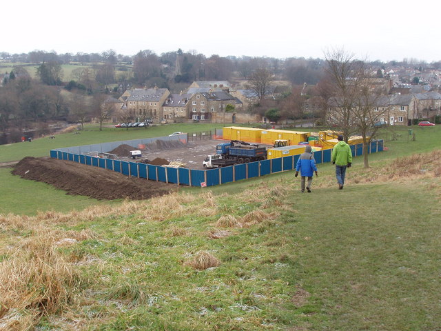
Image: © David Hawgood Taken: 10 Jan 2009
Northumbrian Water work area on Demesnes for sewer works.
Images are licensed for reuse under creativecommons.org/licenses/by-sa/2.0
Image Location
Latitude
54.539242
Longitude
-1.922689