Crossfield Bridge
Introduction
The photograph on this page of Crossfield Bridge by Alan Edwards as part of the Geograph project.
The Geograph project started in 2005 with the aim of publishing, organising and preserving representative images for every square kilometre of Great Britain, Ireland and the Isle of Man.

There are currently over 7.5m images from over 14,400 individuals and you can help contribute to the project by visiting https://www.geograph.org.uk
Crossfield Bridge
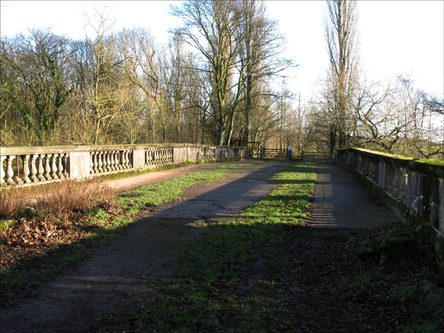
Image: © Alan Edwards Taken: 6 Jan 2008
A view of Crosfield Bridge at Lymm Dam looking away from The Avenue
Images are licensed for reuse under creativecommons.org/licenses/by-sa/2.0
Image Location
Latitude
53.372034
Longitude
-2.484827