Coppice Road
Introduction
The photograph on this page of Coppice Road by Alan Murray-Rust as part of the Geograph project.
The Geograph project started in 2005 with the aim of publishing, organising and preserving representative images for every square kilometre of Great Britain, Ireland and the Isle of Man.

There are currently over 7.5m images from over 14,400 individuals and you can help contribute to the project by visiting https://www.geograph.org.uk
Coppice Road
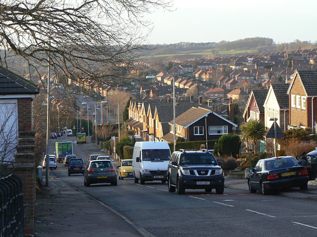
Image: © Alan Murray-Rust Taken: 18 Jan 2009
This drops down off Mapperley Plains towards the centre of Arnold. The hilly nature of this area is well evident. The road is an old thoroughfare predating the developments from the 1950s onwards.
Images are licensed for reuse under creativecommons.org/licenses/by-sa/2.0
Image Location
Latitude
53.005667
Longitude
-1.11326