Naunton Lane looking south west
Introduction
The photograph on this page of Naunton Lane looking south west by Terry Jacombs as part of the Geograph project.
The Geograph project started in 2005 with the aim of publishing, organising and preserving representative images for every square kilometre of Great Britain, Ireland and the Isle of Man.

There are currently over 7.5m images from over 14,400 individuals and you can help contribute to the project by visiting https://www.geograph.org.uk
Naunton Lane looking south west
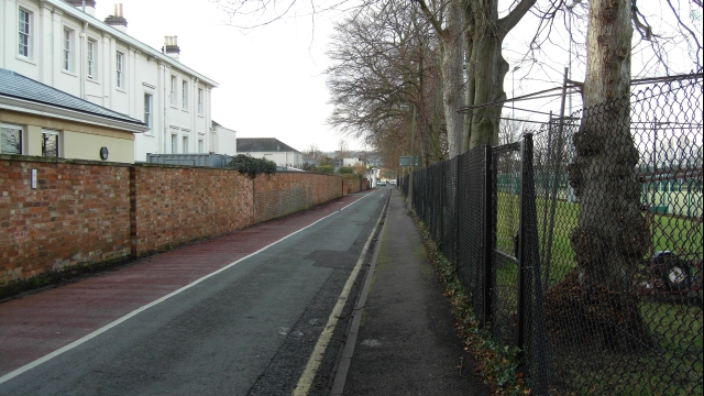
Image: © Terry Jacombs Taken: 20 Jan 2009
Leads to an early 1900s residential area. On the left is Linton House, once a private house, now a cancer treatment centre. On the right are the grounds of Cheltenham College.
Images are licensed for reuse under creativecommons.org/licenses/by-sa/2.0
Image Location
Latitude
51.888164
Longitude
-2.071876