Fields near Lambley
Introduction
The photograph on this page of Fields near Lambley by Alan Murray-Rust as part of the Geograph project.
The Geograph project started in 2005 with the aim of publishing, organising and preserving representative images for every square kilometre of Great Britain, Ireland and the Isle of Man.

There are currently over 7.5m images from over 14,400 individuals and you can help contribute to the project by visiting https://www.geograph.org.uk
Fields near Lambley
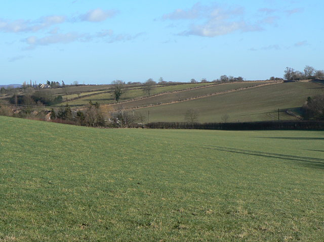
Image: © Alan Murray-Rust Taken: 18 Jan 2009
There is a marked footpath across to right of the houses but shows little signs of use at this point, although reasonably well used further along.
Images are licensed for reuse under creativecommons.org/licenses/by-sa/2.0
Image Location
Latitude
52.997033
Longitude
-1.065757