Levels scenery 2
Introduction
The photograph on this page of Levels scenery 2 by Jonathan Billinger as part of the Geograph project.
The Geograph project started in 2005 with the aim of publishing, organising and preserving representative images for every square kilometre of Great Britain, Ireland and the Isle of Man.

There are currently over 7.5m images from over 14,400 individuals and you can help contribute to the project by visiting https://www.geograph.org.uk
Levels scenery 2
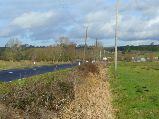
Image: © Jonathan Billinger Taken: 16 Jan 2009
The B3151 crosses this stretch of sedge moor north from Westhay to Mudgley.
Images are licensed for reuse under creativecommons.org/licenses/by-sa/2.0
Image Location
Latitude
51.19939
Longitude
-2.802441