Burnham: St Peter's Recreation Ground
Introduction
The photograph on this page of Burnham: St Peter's Recreation Ground by Nigel Cox as part of the Geograph project.
The Geograph project started in 2005 with the aim of publishing, organising and preserving representative images for every square kilometre of Great Britain, Ireland and the Isle of Man.

There are currently over 7.5m images from over 14,400 individuals and you can help contribute to the project by visiting https://www.geograph.org.uk
Burnham: St Peter's Recreation Ground
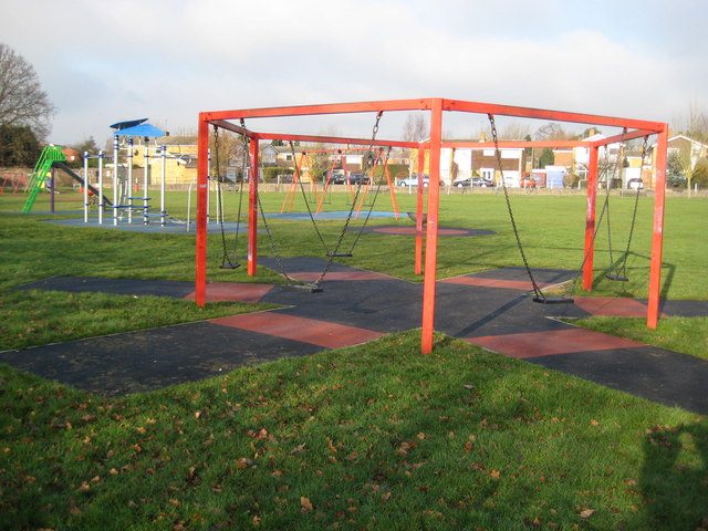
Image: © Nigel Cox Taken: 9 Jan 2009
The Council notice board describes this as an "Unsupervised Mixed Age Group Play Area Suitable for children up to 14 years".
Images are licensed for reuse under creativecommons.org/licenses/by-sa/2.0
Image Location
Latitude
51.530716
Longitude
-0.662134