The Crown, Penn
Introduction
The photograph on this page of The Crown, Penn by Colin Smith as part of the Geograph project.
The Geograph project started in 2005 with the aim of publishing, organising and preserving representative images for every square kilometre of Great Britain, Ireland and the Isle of Man.

There are currently over 7.5m images from over 14,400 individuals and you can help contribute to the project by visiting https://www.geograph.org.uk
The Crown, Penn
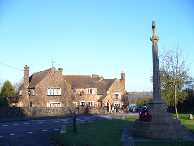
Image: © Colin Smith Taken: 18 Jan 2009
Penn gets its name from a Celtic derivation, meaning a wooded hill or enclosure. More recently, John Betjeman called the village "the Chelsea of the Chilterns". http://www.chilternsaonb.org/downloads%5CHolyTrinityChurchToBeaconHill.pdf
Images are licensed for reuse under creativecommons.org/licenses/by-sa/2.0
Image Location
Latitude
51.631409
Longitude
-0.676512