Upton: The Greenridge
Introduction
The photograph on this page of Upton: The Greenridge by Chris Downer as part of the Geograph project.
The Geograph project started in 2005 with the aim of publishing, organising and preserving representative images for every square kilometre of Great Britain, Ireland and the Isle of Man.

There are currently over 7.5m images from over 14,400 individuals and you can help contribute to the project by visiting https://www.geograph.org.uk
Upton: The Greenridge
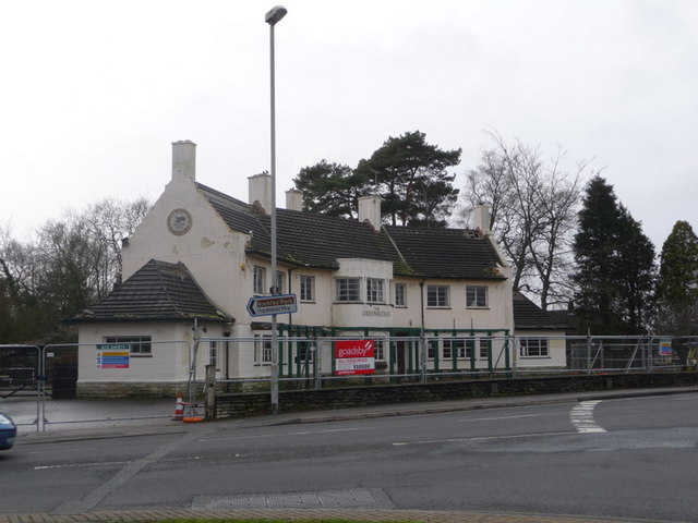
Image: © Chris Downer Taken: 17 Jan 2009
A pub, which closed on 13 April 2008, on the main double-roundabout, which used to be called, rather plainly, The Upton.
Images are licensed for reuse under creativecommons.org/licenses/by-sa/2.0
Image Location
Latitude
50.738138
Longitude
-2.028999