Dudmoor Lane, caravans
Introduction
The photograph on this page of Dudmoor Lane, caravans by Mike Faherty as part of the Geograph project.
The Geograph project started in 2005 with the aim of publishing, organising and preserving representative images for every square kilometre of Great Britain, Ireland and the Isle of Man.

There are currently over 7.5m images from over 14,400 individuals and you can help contribute to the project by visiting https://www.geograph.org.uk
Dudmoor Lane, caravans
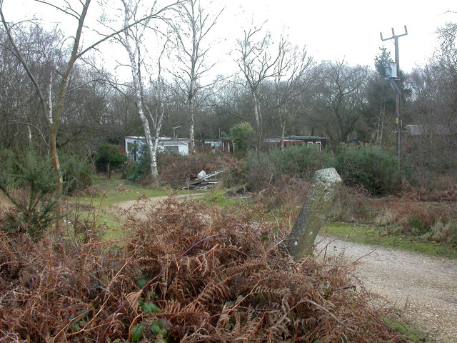
Image: © Mike Faherty Taken: 19 Jan 2009
Like other local marginal suburban/rural sites, property seems either to be caravans or wooden buildings; perhaps planning regulations are laxer for them.
Images are licensed for reuse under creativecommons.org/licenses/by-sa/2.0
Image Location
Latitude
50.76233
Longitude
-1.793935