Church Lane Edenfield
Introduction
The photograph on this page of Church Lane Edenfield by Paul Anderson as part of the Geograph project.
The Geograph project started in 2005 with the aim of publishing, organising and preserving representative images for every square kilometre of Great Britain, Ireland and the Isle of Man.

There are currently over 7.5m images from over 14,400 individuals and you can help contribute to the project by visiting https://www.geograph.org.uk
Church Lane Edenfield
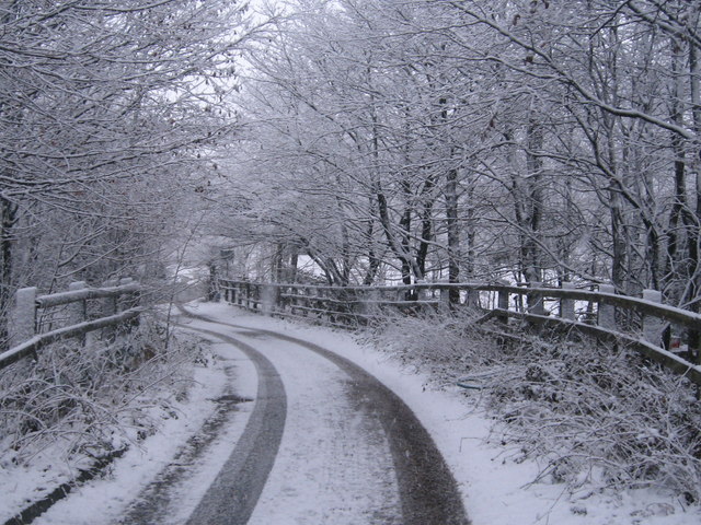
Image: © Paul Anderson Taken: 19 Jan 2009
This single track lane that runs off Market Street in Edenfield is mainly used by the local farmers. The lane crosses over the A56 Edenfield bypass which is directly behind the photographer. Image
Images are licensed for reuse under creativecommons.org/licenses/by-sa/2.0
Image Location


Leaflet Map data © OpenStreetMap
Latitude
53.674541
Longitude
-2.308462