Hove Park
Introduction
The photograph on this page of Hove Park by Simon Carey as part of the Geograph project.
The Geograph project started in 2005 with the aim of publishing, organising and preserving representative images for every square kilometre of Great Britain, Ireland and the Isle of Man.

There are currently over 7.5m images from over 14,400 individuals and you can help contribute to the project by visiting https://www.geograph.org.uk
Hove Park
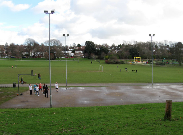
Image: © Simon Carey Taken: 18 Jan 2009
Opened in 1905 on farmland in an area once known as Goldstone Bottom. The park follows the base of the dry valley around to Woodland Drive, there are a couple of football pitches though rugby has now decamped to nearby Hove Recreation Ground, tennis courts, bowling green, a playground, climbing boulder and basketball court, along with ample space to stroll and walk the dog. This view looks across the valley floor to the houses in Goldstone Crescent on the far side.
Images are licensed for reuse under creativecommons.org/licenses/by-sa/2.0
Image Location
Latitude
50.841913
Longitude
-0.172869