Goldstone Way
Introduction
The photograph on this page of Goldstone Way by Simon Carey as part of the Geograph project.
The Geograph project started in 2005 with the aim of publishing, organising and preserving representative images for every square kilometre of Great Britain, Ireland and the Isle of Man.

There are currently over 7.5m images from over 14,400 individuals and you can help contribute to the project by visiting https://www.geograph.org.uk
Goldstone Way
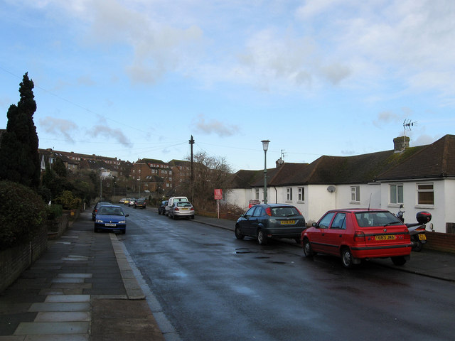
Image: © Simon Carey Taken: 18 Jan 2009
Small road linking Nevill Way with Goldstone Crescent that follows the western slope of the former Goldstone Bottom. Most of the housing was built in the 1950s.
Images are licensed for reuse under creativecommons.org/licenses/by-sa/2.0
Image Location
Latitude
50.847708
Longitude
-0.181166