2009 : Mill Lane
Introduction
The photograph on this page of 2009 : Mill Lane by Maurice Pullin as part of the Geograph project.
The Geograph project started in 2005 with the aim of publishing, organising and preserving representative images for every square kilometre of Great Britain, Ireland and the Isle of Man.

There are currently over 7.5m images from over 14,400 individuals and you can help contribute to the project by visiting https://www.geograph.org.uk
2009 : Mill Lane
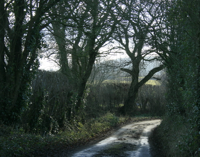
Image: © Maurice Pullin Taken: 13 Jan 2009
A few yards round the next corner we see Image The ford there has been put through a low culvert under the road which only becomes a ford when the water is high enough.
Images are licensed for reuse under creativecommons.org/licenses/by-sa/2.0
Image Location


Leaflet Map data © OpenStreetMap
Latitude
51.209185
Longitude
-2.278382