Sports Hall, Blatchington Mill School
Introduction
The photograph on this page of Sports Hall, Blatchington Mill School by Simon Carey as part of the Geograph project.
The Geograph project started in 2005 with the aim of publishing, organising and preserving representative images for every square kilometre of Great Britain, Ireland and the Isle of Man.

There are currently over 7.5m images from over 14,400 individuals and you can help contribute to the project by visiting https://www.geograph.org.uk
Sports Hall, Blatchington Mill School
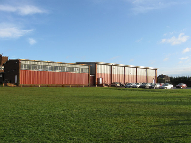
Image: © Simon Carey Taken: 18 Jan 2009
Viewed from Nevill Playing Field it is the eastern most structure of the school that was formed in 1979 on the amalgamation of Hove School for Boys and Nevill Secondary School.
Images are licensed for reuse under creativecommons.org/licenses/by-sa/2.0
Image Location
Latitude
50.845102
Longitude
-0.181267