North Nevill Allotments
Introduction
The photograph on this page of North Nevill Allotments by Simon Carey as part of the Geograph project.
The Geograph project started in 2005 with the aim of publishing, organising and preserving representative images for every square kilometre of Great Britain, Ireland and the Isle of Man.

There are currently over 7.5m images from over 14,400 individuals and you can help contribute to the project by visiting https://www.geograph.org.uk
North Nevill Allotments
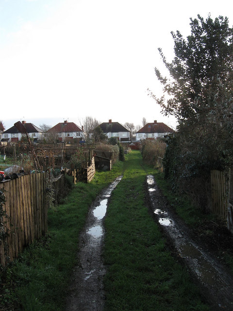
Image: © Simon Carey Taken: 18 Jan 2009
The only surviving tract of allotments north of Nevill Avenue located between Nevill Road, whose houses can be seen in the background, and Nevill Playing Fields.
Images are licensed for reuse under creativecommons.org/licenses/by-sa/2.0
Image Location


Leaflet Map data © OpenStreetMap
Latitude
50.843442
Longitude
-0.178633