Footpath junction near Peregrine Drive
Introduction
The photograph on this page of Footpath junction near Peregrine Drive by David Anstiss as part of the Geograph project.
The Geograph project started in 2005 with the aim of publishing, organising and preserving representative images for every square kilometre of Great Britain, Ireland and the Isle of Man.

There are currently over 7.5m images from over 14,400 individuals and you can help contribute to the project by visiting https://www.geograph.org.uk
Footpath junction near Peregrine Drive
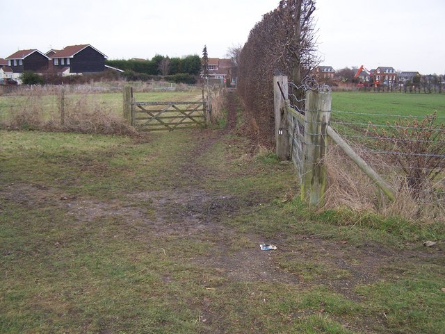
Image: © David Anstiss Taken: 13 Jan 2009
Path No.ZU30 from Highsted Road leads to Fallowfield Road. With building work on more houses, in background on right. This path crosses Path No.ZU31 before heading right up valleyside to Rodmersham Court Farm from Peregrine Drive.
Images are licensed for reuse under creativecommons.org/licenses/by-sa/2.0
Image Location
Latitude
51.330735
Longitude
0.74573