The road from Upperby to Harraby
Introduction
The photograph on this page of The road from Upperby to Harraby by Rose and Trev Clough as part of the Geograph project.
The Geograph project started in 2005 with the aim of publishing, organising and preserving representative images for every square kilometre of Great Britain, Ireland and the Isle of Man.

There are currently over 7.5m images from over 14,400 individuals and you can help contribute to the project by visiting https://www.geograph.org.uk
The road from Upperby to Harraby
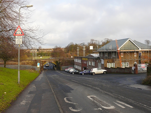
Image: © Rose and Trev Clough Taken: 13 Jan 2009
St. Ninian's Road runs down towards Image Houses at Old Harraby can be seen on the far side of the valley.
Images are licensed for reuse under creativecommons.org/licenses/by-sa/2.0
Image Location
Latitude
54.87389
Longitude
-2.915506